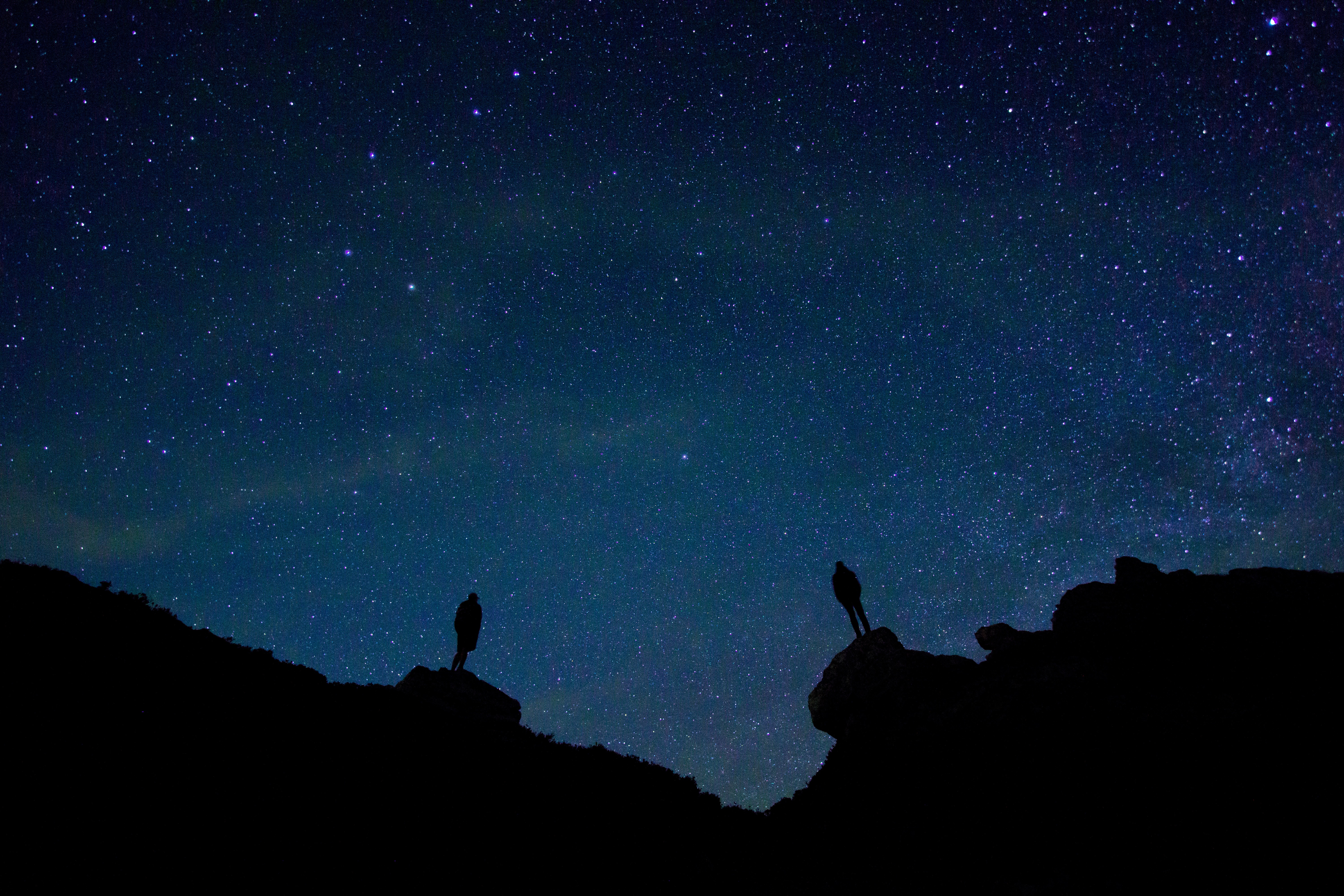
The Dempster Highway is one of the biggest attractions of Northern Canada. It has been awarded with the grandiose title of “One of Canada’s most beautiful drives” and for good reason. The stretch of 737.5km dirt road offers breathtaking views of the arctic tundra and its rolling mountain ranges. Take 5-7 days to drive to the end of the iconic highway (Inuvik) and stop off at the best hiking trails that will offer you the chance to see some of the most picturesque landscapes in Canada.
TOP 10 HIKING TRAILS – THE DEMPSTER HIGHWAY
1. Tombstone: Fold Mountain Ridge
Distance: 7 km | Elevation Gain: 873 m (2864 ft) | Time: 4.5 hours | Difficulty: Difficult
“This long ridgewalk offers varied vistas, neat rock formations, and opens up many options for exploring the surrounding area. From the viewpoint up on the high ridges you get a birdseye view of Alpine Lakes and Fold Lake.
Driving Directions: Drive to kilometer 65.5 of the Dempster Highway, just north of the Highway Maintenance Camp. Park safely off to the side of the road.” (Yukonhiking.ca)
For more information on this trail please visit www.yukonhiking.ca
2. Tombstone: Goldensides
Distance: 4 km | Elevation Gain: 210 m (689 ft) | Time: 1.5 hours | Difficulty: Easy 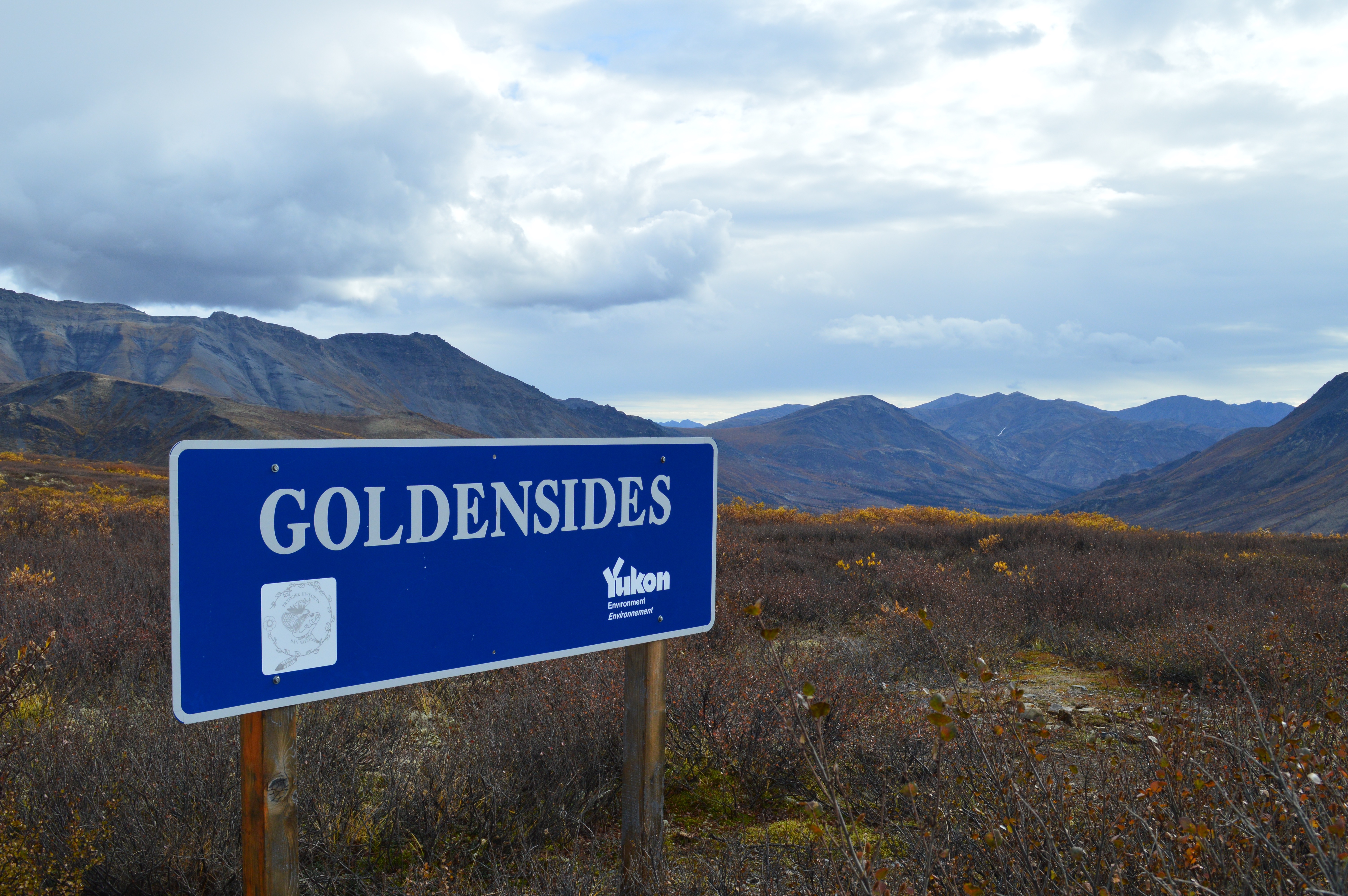
“This is one of the most popular trails in the park. It is close to the campsite and is an easy walk that provides great views down
along the Dempster Highway, the North Klondike valley to Tombstone Mountain, and the mountains and ridges to the west.
Driving Directions: Drive to kilometer 74 on the Dempster Highway and look for a sign with Goldensides trail on it on the west side of the highway. Drive up to the microwave tower and park (be sure to leave space for maintenance vehicles). You can also walk to the trailhead from the territorial campsite. There is a large, blue Goldensides sign at the trailhead.” (Yukonhiking.ca)
For more information on this trail please visit www.yukonhiking.ca
3. Tombstone: Surfbird Mountain
Distance: 8 km | Elevation Gain: 447 m (1467 ft) | Time: 3 hours | Difficulty: Easy
“A nice tundra hike in the northern part of Tombstone Park in the Blackstone Range. The view includes the wide open valley of the Blackstone River as it meanders north and the surrounding rolling hills which give way to more dramatic mountain ranges beyond.
Driving Directions: At kilometer 98 of the Dempster Highway, follow the spur road on the left side (if heading north) all the way up to a microwave tower. Park here, and make sure to allow enough space for work vehicles to access the tower.” (yukonhiking.ca)
For more information on this trail please visit www.yukonhiking.ca
4. Tombstone: Pilot’s Peak
Distance: 9 km | Elevation Gain: 751 m (2464 ft) | Time: 5.5 hours | Difficulty: Difficult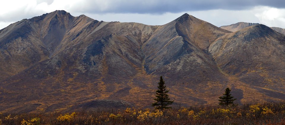
“If crossing the Blackstone River doesn’t deter you, then great views and interesting rock formations are your reward on top of Pilot’s Peak. Tall rock columns are scattered around the summit, and the rounded grey ridges behind Pilot’s Peak are spectacular.
Driving Directions: Drive to kilometer 117.5 on the Dempster Highway and look for a road on the right (east) side which leads down to the river. You can park just below the highway and walk down to the river.” (yukonhiking.ca)
For more information on this trail please visit www.yukonhiking.ca
5. Tombstone: AngelComb Peak
Distance: 6 km | Elevation Gain: 590 m (1936 ft) | Time: 3 hours | Difficulty: Easy
“This is a fun ridge walk up to Angelcomb Peak. It is short and offers great views up the East Blackstone River and the peaks and valleys to the east of the Dempster Highway. This area is important sheep habitat, and Yukon Parks discourages using this trail, especially during lambing season from May 15 to July 1st. Please drop by the Tombstone Interpretive Centre for more information about this sensitive area before you decide to hike it.
Driving Directions: Drive to kilometer 81 on the Dempster Highway and look for a road on the right (east) side with a yellow gate at the end. Park here, but leave room in front of the gate for highway maintenance workers.” (yukonhiking.ca)
For more information on this trail please visit www.yukonhiking.ca
6. Tombstone: Divide Lake
Distance: 6 km | Elevation Gain: 428 m (1404 ft) | Time: 3.5 hours | Difficulty: Difficult
“A beautiful backcountry camping destination where steep granite cliffs give way to the dark blue waters of Divide Lake (the headwaters of the North Klondike Valley). The route described here starts from Grizzly Lake and climbs up and over Glissade Pass (300 m e
levation gain).” (yukonhiking.ca)
Driving Directions: This starts right from the Grizzly Lake Campground- Look for the sign!
For more information on this trail please visit www.yukonhiking.ca
7. Tombstone: Grizzly Ridge
Distance: 5 km | Elevation Gain: 423 m (1388 ft) | Time: 2-3 hours | Difficulty: Easy
“This is one of the most popular trails in Tombstone Territorial Park, and for good reason. Within about an hour you get a view of Mount Monolith at the end of Grizzly Valley. The trail is well established, and you can continue along the ridge towards Grizzly Lake for as long as you like.
Driving Directions: At kilometer 58.5 up the Dempster Highway, there is a large parking area on the left (west) side. The trailhead is signed at the highway, so you can’t miss it. The parking area has many parking spots and an outhouse.” (yukonhiking.ca)
For more information on this trail please visit www.yukonhiking.ca
8. Arctic Circle Monument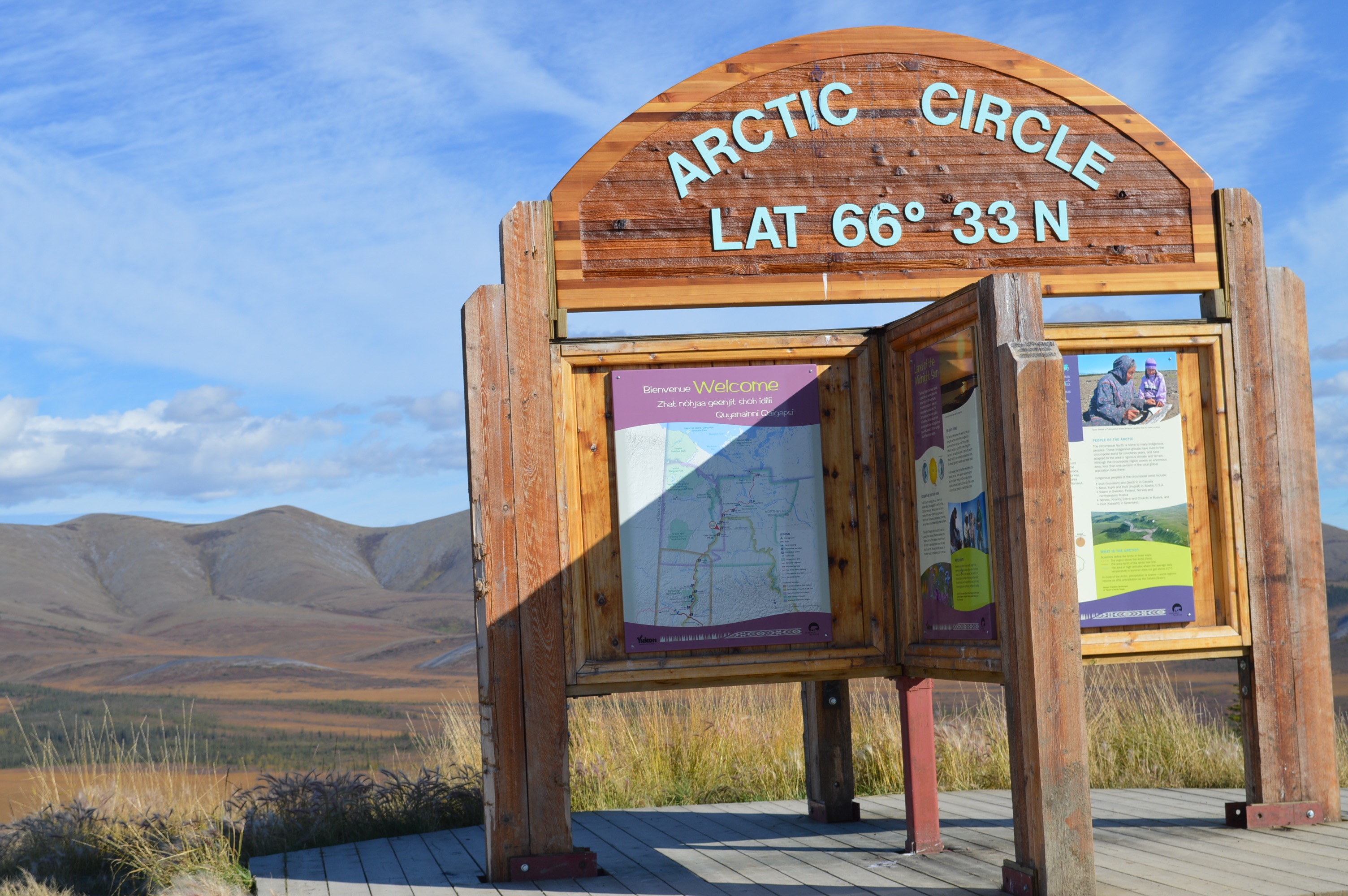
Kilometre: 405km- 200km south of Inuvik
This isn’t really a hike per-say but a definite must stop. We suggest spending an hour or two walking around and checking out the flora on the arctic floor and keeping your eyes out for wildlife. There’s no real trail around but you can definitely take a little walk around without worrying about losing yourself! Suggested footwear: Hiking boots or gum boots- it’s a mossy area that tends to soak up a lot moisture!
9. Eagle Plains
Kilometre: 369km
Another stopping point while your driving the Dempster Highway. The Eagle Plains is the halfway point and is the only gas stop until you get to Inuvik. This is a great stop for the night- and depending on your preference they have a hotel/bar and campsites! Explore around here for 360 degree views of the region- offering sweeping views and never ending horizons. We suggest prowling around here at night to catch a glimpse the Northern Lights!!
10. Hiking around Inuvik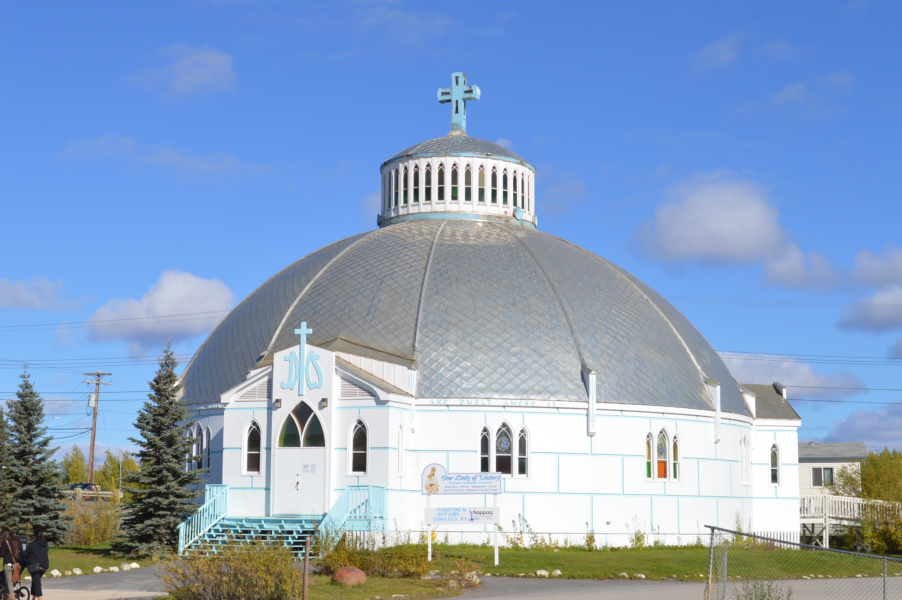
If you’ve made it to Inuvik it means that your legs are probably sore from all the hiking you’ve done. Do you now understand why the Dempster Highway has been branded as one of Canada’s most beautiful drives? If your still up for more hiking there are a few trails around inuvik that offer some nice little hikes. Check in at the Visitors Centre and they will show you where you can go! Better yet talk to one of us at Tundra North Tours and we will gladly take you to Tuktoyaktuk to hike up a pingo (a gigantic ice mound)- Check that one off the bucket list!
